Take a trip to the coast of the North Shore with this month’s virtually displayed collection item! We’re featuring a bird’s-eye view map of the small village of Magnolia, which is located in Gloucester, Massachusetts right over the town line from Manchester-by-the-Sea.

This item was specifically selected for virtual display during the summer months because from the mid-1800s and into the 1900s Magnolia was a vacation destination for Bostonians and other New England and New York residents. This map was published in 1887, so it depicts Magnolia in its relatively early days of development. The legend in the bottom right of the map identifies some of the town's landmarks. Unfortunately, our copy has experienced some paper loss, so the full legend isn’t available. However, the Boston Public Library’s Leventhal Map Center also has a copy, which includes the full legend.
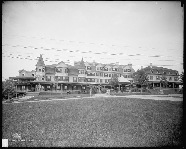 |
| Detroit Publishing Co., Copyright Claimant, and Publisher Detroit Publishing Co. The Hesperus, Magnolia, Mass. United States Massachusetts Gloucester, ca. 1906. Photograph. |
In addition to buildings and roads, there are always a lot of fun details to see in bird’s-eye view maps, like different modes of transportation and people engaged in various activities. Take a closer look at life in Magnolia by clicking on the above image or checking out its record on DSpace. And while you’re in DSpace, be sure to peruse our full collection of digitized bird’s-eye view maps.
Elizabeth Roscio
Preservation Librarian